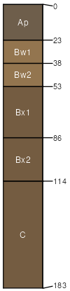
Langford channery silt loam, moderately shallow variant, 8 to 15 percent slopes
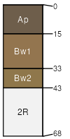
Aurora
(85%)
Moist Till Upland
Glossaquic Hapludalfs
Moderately well drained
Hydric: No
PAWS: 5 cm
benches / Summit
ridges / Summit
till plains / Summit
Arnot
(5%)
Hydric: No
PAWS: NA
Langford
(5%)
Hydric: No
PAWS: NA
Erie
(5%)
Hydric: No
PAWS: NA
SSA
Scale
Published
Export
ny099
1:16,000
1966
2025-09-02