Castner-Laceycreek-Bowery complex 25 to 60 percent slopes
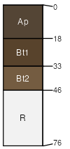
Castner
(40%)
Shallow Grassland Group
Lithic Haplustolls
Well drained
Hydric: No
PAWS: 4 cm
escarpments / Summit
escarpments / Shoulder
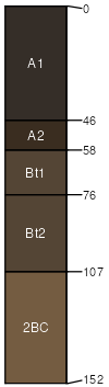
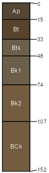
Laceycreek
(25%)
Upland Grassland Group
Pachic Argiustolls
Well drained
Hydric: No
PAWS: 27 cm
escarpments
drainageways
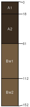
Bowery
(20%)
Upland Grassland Group
Pachic Haplustolls
Well drained
Hydric: No
PAWS: 27 cm
escarpments / Backslope
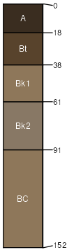
Farnuf
(4%)
Silty (Si) RRU 46-S 13-19 PZ
Typic Argiustolls
Well drained
Hydric: No
PAWS: 25 cm
fans
escarpments
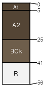
Beenom
(4%)
Shallow (Sw) RRU 46-S 13-19 PZ
Lithic Argiustolls
Well drained
Hydric: No
PAWS: 6 cm
escarpments / Summit
escarpments / Backslope
Work
(4%)
Clayey (Cy) RRU 46-S 13-19 PZ
Typic Argiustolls
Well drained
Hydric: No
PAWS: 22 cm
fans
escarpments
Rock outcrop
(3%)
Hydric:
PAWS: NA
escarpments
SSA
Scale
Published
Export
mt639
1:24,000
2000
2025-08-31