Bigarm, cool-Rubble land complex, 30 to 60 percent slopes
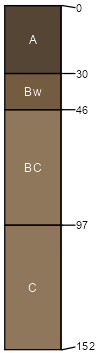
Bigarm
(55%)
Upland Grassland Group
Typic Haploxerolls
Somewhat excessively drained
Hydric: No
PAWS: 9 cm
mountains
Rubble land
(30%)
Hydric: No
PAWS: NA
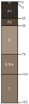
Finleypoint
(5%)
Typic Haplustolls
Well drained
Hydric: No
PAWS: 16 cm
mountains
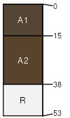
Hogsby
(5%)
Shallow Grassland Group
Lithic Haploxerolls
Well drained
Hydric: No
PAWS: 4 cm
mountains
Rock outcrop
(5%)
Hydric: No
PAWS: NA
SSA
Scale
Published
Export
mt629
1:20,000
1991
2023-08-28