| Wallen gravelly silt loam, 12 to 30 percent slopes | 63 | 5047 | 565787 | lzr6 | ar063 | 1980 | 1:20000 |
Wallen gravelly silt loam, 8 to 12 percent slopes | 62 | 2695 | 565786 | lzr5 | ar063 | 1980 | 1:20000 |
Wallen gravelly silt loam, 3 to 8 percent slopes | 61 | 2497 | 565785 | lzr4 | ar063 | 1980 | 1:20000 |
Wallen-Clifftop complex, 20 to 50 percent slopes, rocky | uWcrF | 6183 | 2997082 | 2x5hn | ky199 | 1969 | 1:12000 |
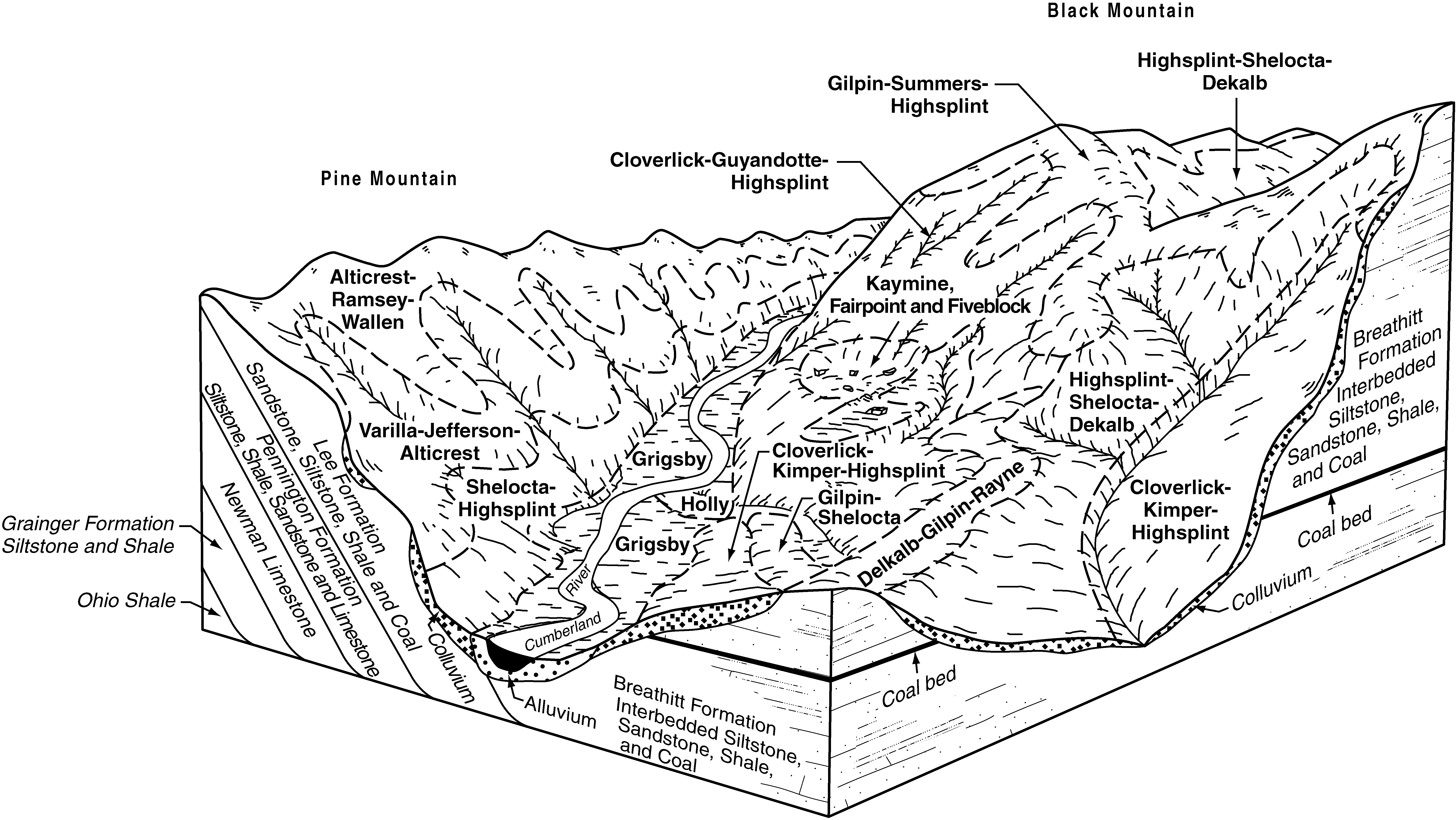
Alticrest-Ramsey-Wallen complex, 20 to 55 percent slopes, rocky | AtF | 3825 | 550721 | lh26 | ky626 | 1997 | 1:24000 |
Wallen-Clifftop complex, 20 to 50 percent slopes, rocky | uWcrF | 6922 | 2997083 | 2x5hn | ky628 | 1973 | 1:20000 |
Wallen-Ramsey-Alticrest complex, 15 to 60 percent slopes, very rocky | 5E | 2007 | 740290 | svbb | ky630 | 1966 | 1:15840 |
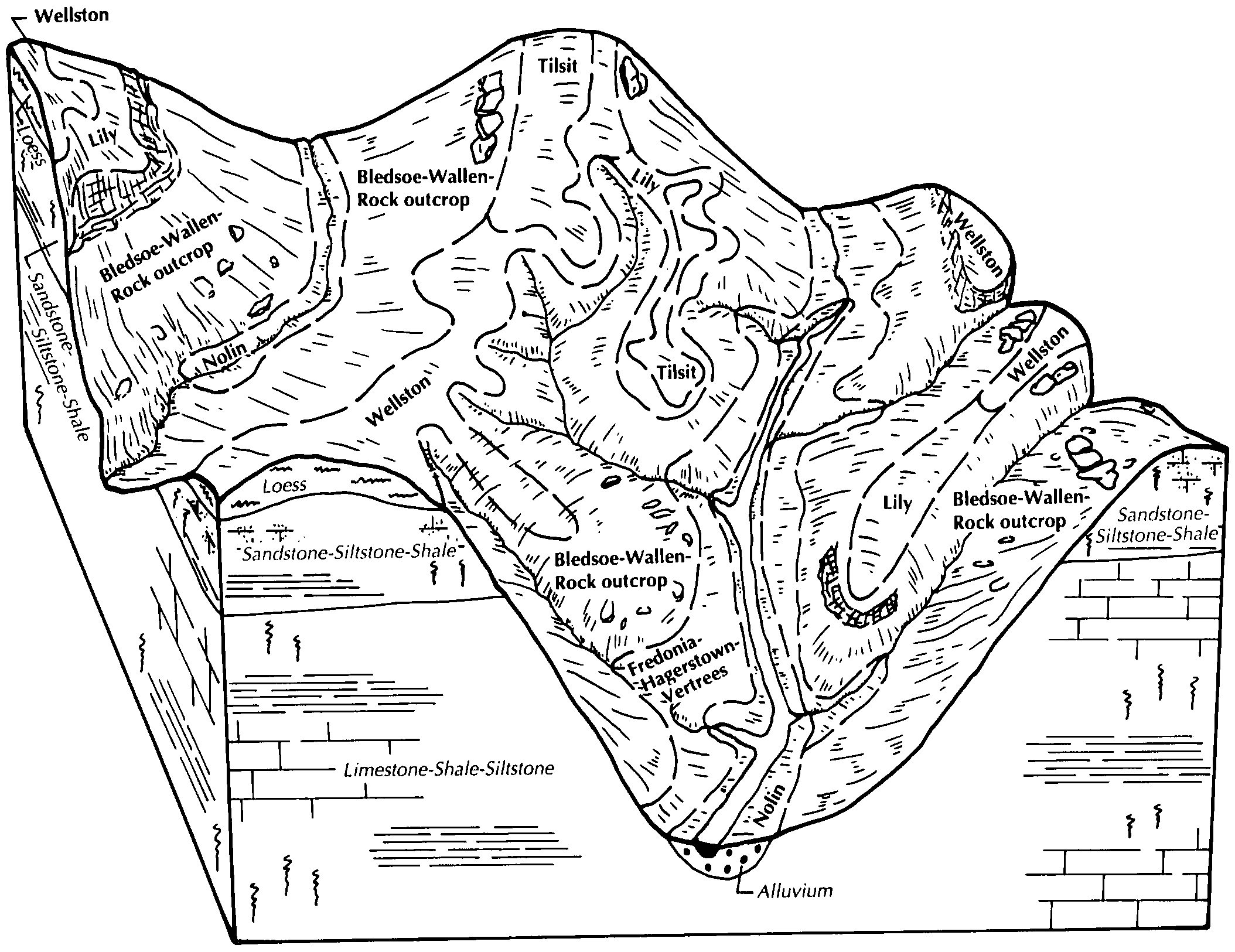
Bledsoe-Wallen-Rock outcrop complex, 20 to 30 percent slopes | BmE | 13940 | 2453054 | 2nbls | ky647 | 1989 | 1:20000 |
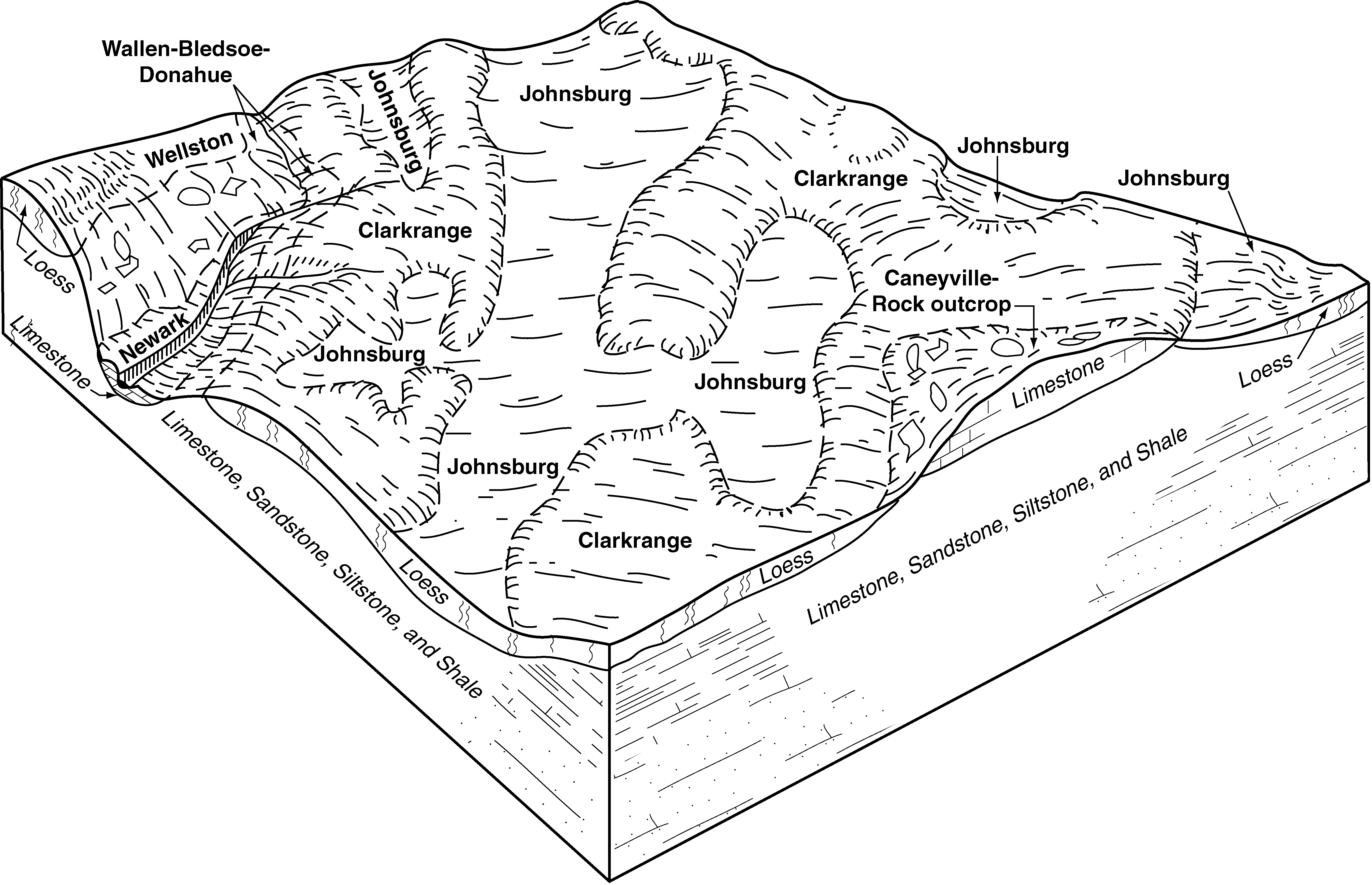
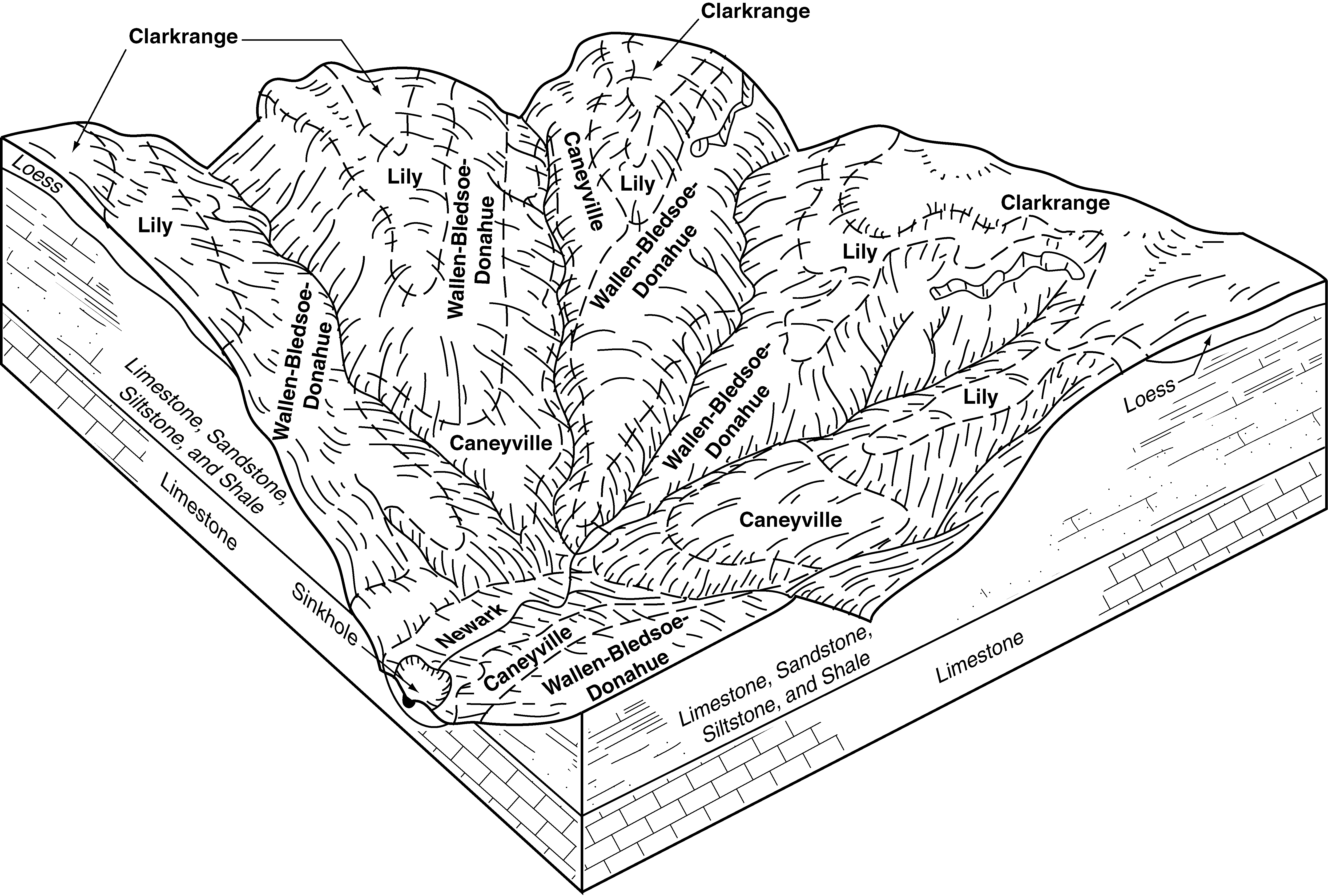
Wallen-Bledsoe-Donahue complex, 35 to 50 percent slopes, very rocky | WbF | 7920 | 2379229 | 2kvsb | ky648 | 2009 | 1:12000 |
Wallen-Bledsoe-Donahue complex, 15 to 35 percent slopes, very rocky | WbE | 6457 | 2379228 | 2kvs9 | ky648 | 2009 | 1:12000 |
Wallen-Bledsoe-Donahue complex, 35 to 50 percent slopes, very rocky | WbF | 4203 | 2452912 | 2nbg6 | ky709 | 1995 | 1:20000 |
Wallen-Bledsoe-Donahue complex, 15 to 35 percent slopes, very rocky | WbE | 3423 | 2452911 | 2nbg5 | ky709 | 1995 | 1:20000 |
Wallen-Rock outcrop complex, 35 to 70 percent slopes | WrF | 11989 | 525047 | kmc0 | tn057 | 1996 | 1:24000 |
Wallen gravelly loam, 35 to 70 percent slopes | WaF | 11218 | 525045 | kmby | tn057 | 1996 | 1:24000 |
Wallen gravelly loam, 20 to 35 percent slopes | WaE | 2214 | 525044 | kmbx | tn057 | 1996 | 1:24000 |
Wallen-Rock outcrop complex, 20 to 35 percent slopes | WrE | 908 | 525046 | kmbz | tn057 | 1996 | 1:24000 |
Wallen gravelly loam, 12 to 20 percent slopes | WaD | 278 | 525043 | kmbw | tn057 | 1996 | 1:24000 |
Wallen-Rock outcrop complex, 25 to 75 percent slopes, bouldery | WaF | 71 | 632910 | p7lg | tn093 | 2005 | 1:12000 |
Wallen gravelly fine sandy loam, 20 to 60 percent slopes | WaF | 10322 | 527954 | kqcs | tn123 | 1974 | 1:20000 |
Wallen channery sandy loam, 15 to 65 percent slopes | WaF | 5398 | 523787 | kl1c | tn139 | 1997 | 1:24000 |
Wallen gravelly loam, 30 to 65 percent slopes | WaF | 1517 | 530095 | kslv | tn163 | 1991 | 1:20000 |
Wallen-Rock outcrop complex, 25 to 60 percent slopes | WeF | 25504 | 528619 | kr27 | tn602 | 1973 | 1:15840 |
Wallen gravelly loam, 25 to 60 percent slopes | WaF | 22306 | 528618 | kr26 | tn602 | 1973 | 1:15840 |
Calvin-Wallen complex, 25 to 60 percent slopes | CcF | 17609 | 528528 | kqz9 | tn602 | 1973 | 1:15840 |
Wallen channery sandy loam, 35 to 70 percent slopes, very stony | 29F | 98 | 1670937 | 1t2r6 | va027 | 2006 | 1:24000 |
Wallen-Rock outcrop complex, 35 to 80 percent slopes, extremely stony | 30F | 44 | 1670830 | 1t2mr | va027 | 2006 | 1:24000 |
Wallen channery sandy loam, 15 to 35 percent slopes, very stony | 29D | 14 | 1670936 | 1t2r5 | va027 | 2006 | 1:24000 |
Lehew and Wallen soils, very stony, 35 to 65 percent slopes | 23F | 5735 | 516677 | kbn0 | va071 | 1981 | 1:15840 |
Wallen-Rock outcrop complex, 35 to 85 percent slopes, very stony | 35F | 8953 | 521754 | khxs | va105 | 1997 | 1:24000 |
Wallen-Alticrest complex, 35 to 55 percent slopes, very stony | 34E | 5199 | 521753 | khxr | va105 | 1997 | 1:24000 |
Wallen-Alticrest complex, 15 to 35 percent slopes, very stony | 34D | 1860 | 521752 | khxq | va105 | 1997 | 1:24000 |
Wallen-Rock outcrop complex, 35 to 80 percent slopes, extremely stony | 56F | 1797 | 1671843 | 1t3pf | va167 | 2006 | 1:24000 |
Wallen-Rock outcrop complex, 15 to 35 percent slopes, extremely stony | 56D | 152 | 1671842 | 1t3pd | va167 | 2006 | 1:24000 |
Wallen channery sandy loam, 35 to 70 percent slopes, very stony | 55F | 107 | 1671194 | 1t30h | va167 | 2006 | 1:24000 |
Wallen channery sandy loam, 15 to 35 percent slopes, very stony | 55D | 21 | 1671868 | 1t3q7 | va167 | 2006 | 1:24000 |
Wallen gravelly loam, 35 to 55 percent slopes, very stony | 42E | 7523 | 778108 | v3p8 | va169 | 2003 | 1:24000 |
Wallen gravelly loam, 15 to 35 percent slopes, very stony | 42D | 345 | 778107 | v3p7 | va169 | 2003 | 1:24000 |
Rock outcrop-Drall-Wallen complex, 15 to 70 percent slopes | 52F | 13397 | 520782 | kgxf | va171 | 1988 | 1:15840 |
Wallen channery sandy loam, 35 to 55 percent slopes, very stony | 63E | 8512 | 520804 | kgy4 | va171 | 1988 | 1:15840 |
Wallen channery sandy loam, 15 to 35 percent slopes, very stony | 63D | 8422 | 520803 | kgy3 | va171 | 1988 | 1:15840 |
Wallen channery sandy loam, 35 to 55 percent slopes, extremely stony | 64E | 5839 | 520806 | kgy6 | va171 | 1988 | 1:15840 |
Wallen channery sandy loam, 55 to 70 percent slopes, extremely stony | 64F | 4343 | 520807 | kgy7 | va171 | 1988 | 1:15840 |
Wallen-Lehew complex, 55 to 70 percent slopes, extremely stony | 66F | 2150 | 520812 | kgyd | va171 | 1988 | 1:15840 |
Wallen-Lehew complex, 35 to 55 percent slopes, very stony | 65E | 2010 | 520810 | kgyb | va171 | 1988 | 1:15840 |
Wallen-Lehew complex, 15 to 35 percent slopes, very stony | 65D | 1832 | 520809 | kgy9 | va171 | 1988 | 1:15840 |
Wallen channery sandy loam, 15 to 35 percent slopes | 62D | 816 | 520801 | kgy1 | va171 | 1988 | 1:15840 |
Wallen-Lehew complex, 35 to 55 percent slopes, extremely stony | 66E | 514 | 520811 | kgyc | va171 | 1988 | 1:15840 |
Wallen channery sandy loam, 2 to 15 percent slopes, very stony | 63C | 457 | 520802 | kgy2 | va171 | 1988 | 1:15840 |
Wallen-Lehew complex, 2 to 15 percent slopes, very stony | 65C | 395 | 520808 | kgy8 | va171 | 1988 | 1:15840 |
Wallen channery sandy loam, 15 to 35 percent slopes, extremely stony | 64D | 395 | 520805 | kgy5 | va171 | 1988 | 1:15840 |
Wallen channery sandy loam, 7 to 15 percent slopes | 62C | 277 | 520800 | kgy0 | va171 | 1988 | 1:15840 |
Wallen-Rock outcrop complex, 35 to 80 percent slopes, extremely stony | 51E | 5148 | 522121 | kj9m | va185 | 1996 | 1:24000 |
Wallen channery sandy loam, 15 to 35 percent slopes, very stony | 52D | 2170 | 522143 | kjbb | va185 | 1996 | 1:24000 |
Wallen channery sandy loam, 35 to 65 percent slopes, very stony | 52E | 1945 | 522144 | kjbc | va185 | 1996 | 1:24000 |
Wallen-Rock outcrop complex, 15 to 35 percent slopes, extremely stony | 51D | 869 | 522120 | kj9l | va185 | 1996 | 1:24000 |
Wallen channery sandy loam, 7 to 15 percent slopes, very stony | 52C | 326 | 522142 | kjb9 | va185 | 1996 | 1:24000 |
Wallen-Alticrest complex, 35 to 55 percent slopes, very stony | 82F | 1544 | 2508623 | 2q7tt | va195 | 2010 | 1:24000 |
Wallen-Rock outcrop complex, 35 to 85 percent slopes, extremely stony | 83G | 626 | 2508624 | 2q7s5 | va195 | 2010 | 1:24000 |
Wallen-Alticrest complex, 15 to 35 percent slopes, very stony | 82E | 527 | 2508622 | 2q7s4 | va195 | 2010 | 1:24000 |
Alticrest-Ramsey-Wallen complex, 20 to 55 percent slopes, rocky | 5F | 316 | 2507470 | 2q7nz | va195 | 2010 | 1:24000 |
).png)